Than Bokoranee National Park
July 9, 2009 by admin
Filed under Attractions
Than Bok Khorani National Park
 General Information
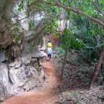
Than Bok Khorani National Park is a rainforest situated in the valley in the midst of the mountains. Streams flow through the area disappearing into the limestone rocks underneath the mountains, on their journey to the sea.
The source of the stream is Nam Phut Cave and Ao Mai Dam Mountain (Black Tree Bay Mountain). This was formerly the territory of wild elephants, until people moved in and settled the area. They cleared the forest and took possession of the land for agriculture, until only the stream remained. The park was established on 30th September 1998.
Geography
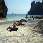
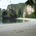
Geography of Tarn Bok Koranee National Park is the ridge of mountains alternatively laying along north-south direction like a complicated wave and has varieties of deep slope. There is a little bit of plain area, most of them would be found on mountain shoulder and valley. The limestone mountains in this area are covered with the mixed tropical forest and in addition it also consistis of mangrove forest, waterfall stream, sea and beach. Morevever, there are a limestone island and many small islands, about 23 islands.
Climate
The climate of this national park is a monsoon weather, consists of 2 seasons; raining and hot season or so called “eight raining-four sunshine” which means raining for 8 months and hot for 4 months. Raining Season starts from April till December every year. The heavy rain would be found in September while November would be cold with an average temperature at 26.4 degrees celsius. Hot Season starts from mid of January till April every year. February is the lowest of raining and very hot but suitable for travel. In April, the average temperature is 29 degrees celsius.

 Flora and Fauna
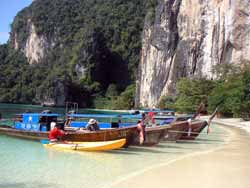
The national park covers an area of 104 sq.km, including a group of 23 islands off the coast of Krabi as Chong Lat Tai Island, Ka Rot Island, Pak Ka Island, Lao Bile Island (Hong Island), etc,. The landscape is dominated by a series of impressive mountains; precipitous, tall, limestone towers, protruding out of the landscape in a typical Karsts topography. Sink holes in the rock lead the way to underground streams, and numerous mountain cave. Than Bok Khorani National Park is the source and watershed for the water of Ao Luek District, flowing from five important streams; Marui, Klang, Nam Tok, Ao Luek and Ka Rot. The main plant communities are rainforest, mangrove forest, and freshwater swamp forest.
Rain Forest is found on the steep mountain ranges, Hopea spp., Lagerstroemia spp., Dipterocarpus alatus, Intsia palembanica and Terminalia wallichiana being the dominant trees, and the undergrowth is characterised by Salacca sp., rattan and bamboo.
Mangrove Forest is mostly found around Tham Rot Tai Mountain, Nam Bay and Ka Rot Island. The main species are Rhizophora, Kylocarpus, Bruguiera, Sonneratia and Avicennia.
Swamp Forest covers the footslopes of Chong Lom Mountain. Because the forest no longer covers a wide, continuous area, the variety of wildlife is reduced.
 Wildlife :- Mammals, include Wild boar, Fishing Cats, Mouse Deer, Gibbon, Langurs, Large Indian Civet, Malayan Porqupine, Pangolin, Otters, Squirrels, Javan Mongoose and Flying Lemurs. Birds, include Brahminy Kite, Common Koel, White breasted waterhen, Hill Myna, Woodpeckers and Grey Wagtail. The rivers are habitat for a wealth of freshwater species, including True Eel and Long Tom. Reptiles, such as chameleon, bengal monitor, king cobra, cobra, reticulated python, malayan pit viper, bronzeback, etc. Fish, whilst the sea supports coral reefs, with both hard and soft corals, Parrotfish, Starfish, and Anemones.
SOURCE : www.dnp.go.th
Highlights of Than Bokoranee.
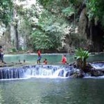
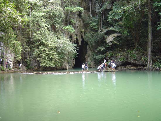
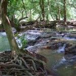
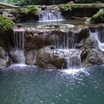
The park is in Ao Luk district, 46 kilometers from Krabi town. Its 121 square kilometer area covers a wide range of natural resources limestone outcrops, mangrove, evergreen forest and indigenous islands. The park is geographically undulating mountain and single. scattered karsts. Than Bokoranee is in the same area of Than Bokoranee National Park. The emerald stream under the shade of a variety of tree species appears from out of the cave. Ao Luk and Tarn Asoke are the water sources of the fall which form into a multi-level swamp. The native flowers produce charming fragrances in January and February.
Tham Lod
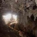
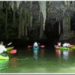
You can sail from one side of a limestone pinnacle through a tunnel to the other side. The tunnel gives you splendid sightings of stalactites and stalagmites.
Tha Pom
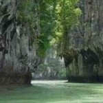
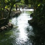
This clear-water, year-round, and emerald canal – situated 25 kilometers from Krabi town at Baan Nongjik Tambon Khao Karm Muang district runs through a peat swamp and mangrove forest which contains mud as a whole but never makes the water turgid, since the mangrove’s roots effectively help filter muddy substances. The area can be categorized as follows :
Swamp : The area’s lowland swamp is caused by the formation of saline sediments which reduces the fertility of the soil. Generally, trees growing in the neighborhood have stunted growth e.g. Toeinarm, Fard, etc.
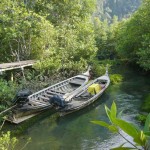
Rainforest : The boundary of two tides is the origin of two kinds of forests in the same area in which some limestone outcrops become shale when eroded by the current. Shale is yellow because it contains a lot of sulphur. The Pom was once an abundant area of nature and a big seaport, where a lot of Chinese ships anchored and traded with the local people.
Source : Krabi Tourism Association


